On the road instead of on the case
Experts drive out for many claims even when a remote assessment would do.
Insurance & claims
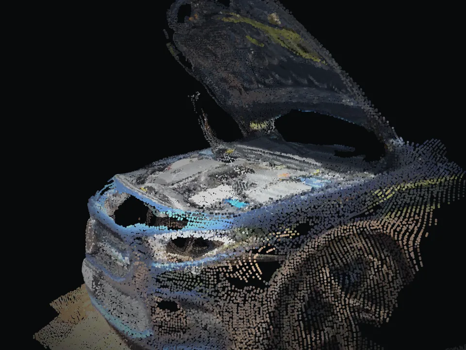
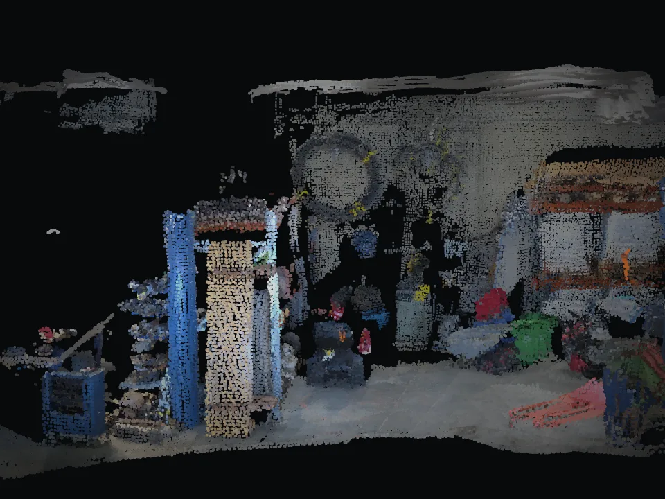
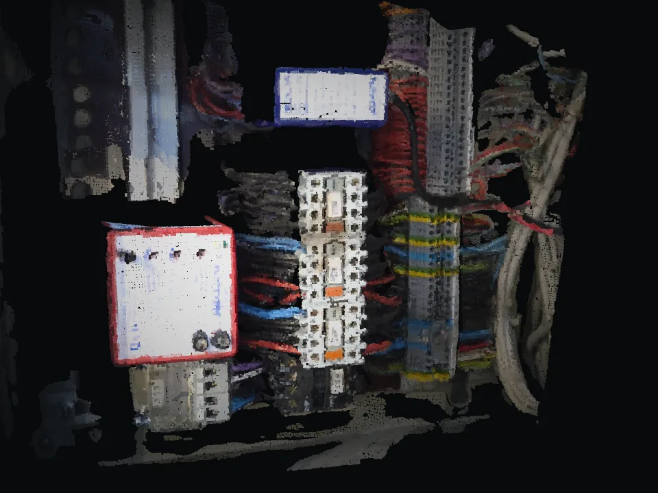
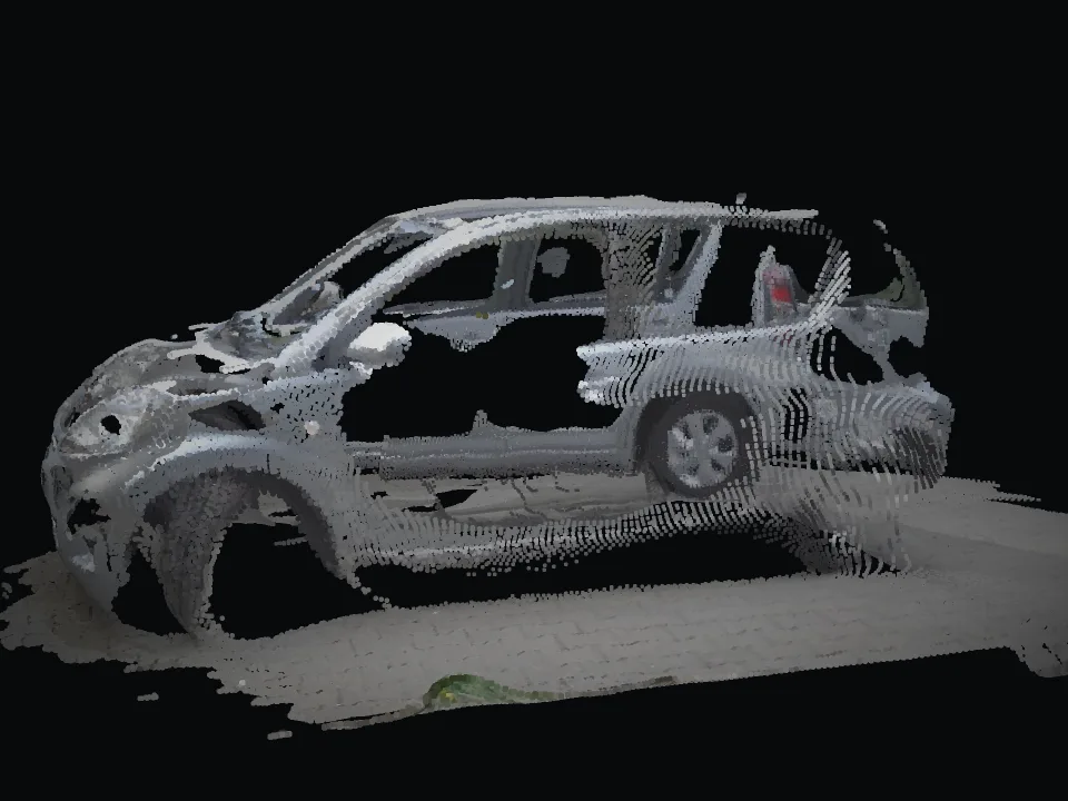
Policyholders or partners capture the damage with a smartphone. Your experts review it in the 3D model, measure areas and ask follow-up questions in spatial context.
Where it hurts today
Experts drive out for many claims even when a remote assessment would do.
Single photos rarely show the extent and context of damage.
Every request for more pictures stretches the handling time.
Review damage remotely, measure areas and ask questions in spatial context, instead of sending an expert out.
How it works with INSINIK
Policyholders or partners film the damage, guided by the app.
The expert assesses in 3D and measures areas directly.
If something is missing, the question is placed right at the affected spot.
Model, measurements and communication stay with the claim.
Use cases
Who it is for
Pilot
Clearly scoped, 4 to 6 weeks, with KPIs we define together such as second visits, trips, expert hours and follow-up questions.
Typical scope
One claim type, one region, a few adjusters.