As-built data ages quickly
A lot changes on site between two surveys. Documentation lags behind.
BIM2Field & as-built capture
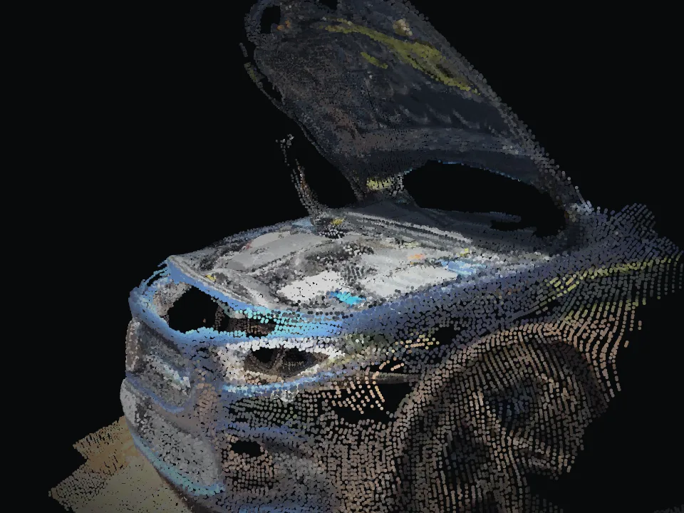
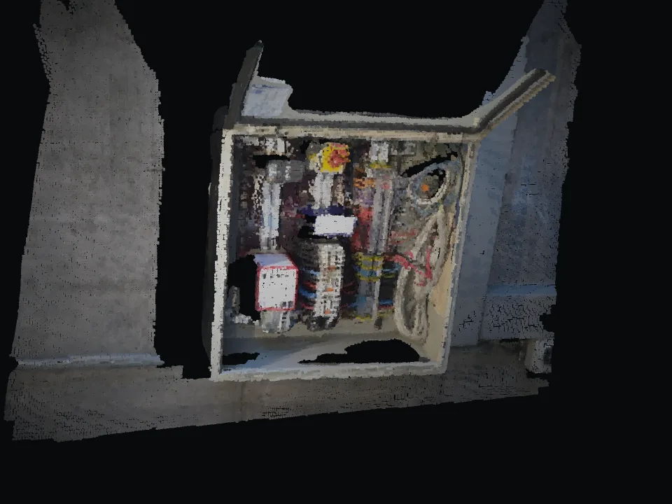
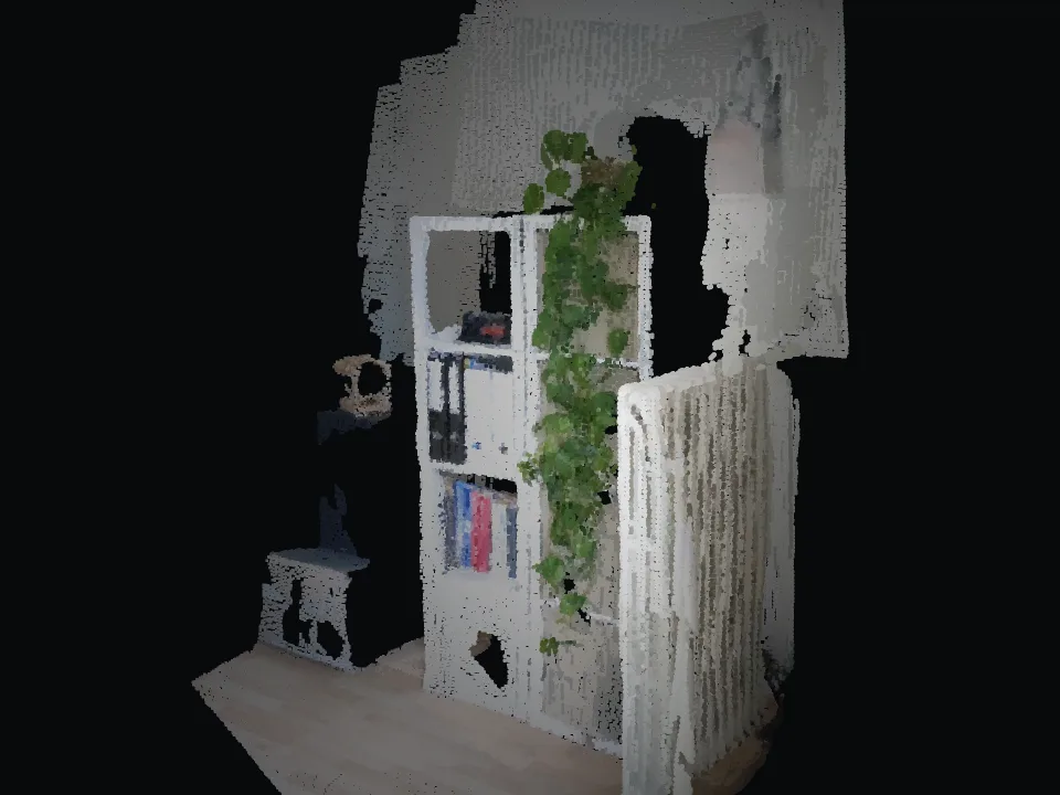
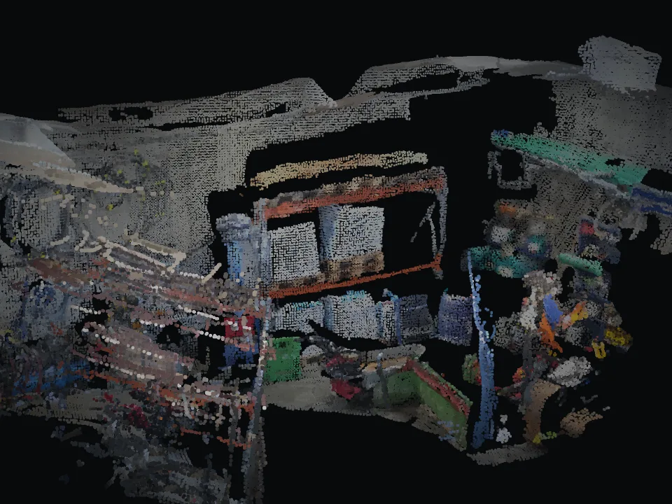
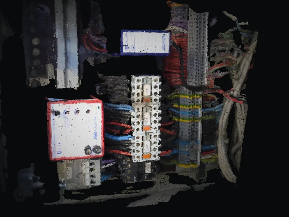
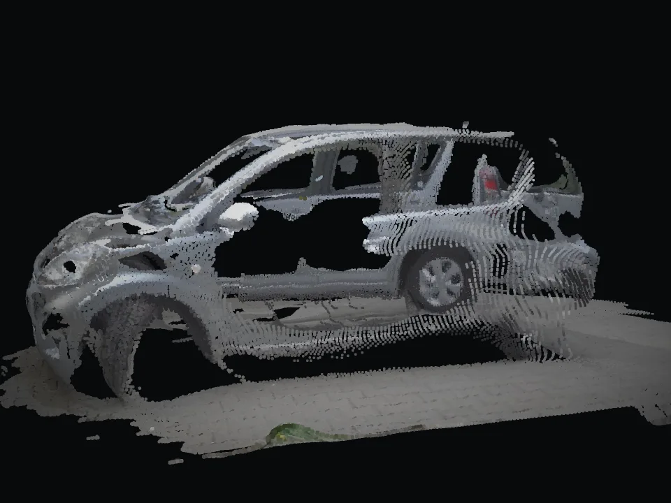
INSINIK captures as-built conditions with a smartphone as a spatial model, measures when needed and puts plan and execution side by side. A fast complement to your existing surveying and BIM workflows.
Where it hurts today
A lot changes on site between two surveys. Documentation lags behind.
Comparing plan and execution takes special equipment, specialists and time.
What lives in the BIM model often arrives on site as a PDF or printout.
INSINIK does not replace total stations or laser scanners. It complements them wherever fast spatial documentation is enough and capture should happen more often.
How it works with INSINIK
Relevant elements and checkpoints from the design are prepared.
Site management or surveying captures the as-built state, measured if needed.
Deviations become visible and can be located in the model.
Results flow back into the project, traceable and dated.
Use cases
Who it is for
Pilot
Clearly scoped, 4 to 6 weeks, with KPIs we define together such as second visits, trips, expert hours and follow-up questions.
Typical scope
One construction section, one documentation process.